In this article
- Guri i Bardhe hike at a glance
- Why White Stone village is worth the climb
- Route options from Muçek and the White Stone mountain path
- How difficult is the Guri i Bardhe Klos walk?
- Best season, packing list, and village etiquette
- Make it a Klos day: trail, lunch, and a slow return
- Frequently asked questions
Guri i Bardhe hike at a glance
Morning light catches the pale stones first, then the lane dusts your shoes and the valley opens behind you bend by bend. The Guri i Bardhe hike is one of the best culture-minded walks near Klos: a mountain path toward Guri i Bardhë (White Stone), a village also connected with the old name Petralba. It suits travelers who want stone houses, valley views, and a steady climb more than a hard alpine expedition.
From our side of Klos, we think of it as a half-day to full-day outing, depending on where you begin, how long you pause in the village, and whether you follow a simple village walk or a longer route beyond it. It is close enough to fold into a relaxed stay at Bujtina Çupa, but it still asks for proper shoes, daylight, water, and local advice before you set out.
We are in Fshat on Rruga e Arbërit, in Klos, Dibër County, so the walk fits naturally into a day based in the Mat Valley. The road access around the area can change after rain, snow, or works on smaller lanes, so do not treat an old GPS track as a promise. Ask locally. Check the sky. Start with time in hand.
Quick facts for planning
- Best base - Klos, especially if you want food and a quiet room before or after the walk.
- Likely access - drive or transfer from Klos toward the Guri i Bardhë road access or Te Mulliri area, then choose either a village walk or the longer Guri i Bardhë–Muçek route if conditions and fitness allow.
- Best seasons - spring through autumn, with extra caution in winter.
- Terrain - mixed village lanes, earth path, gravel, track, and stony sections.
- Experience level - moderate for regular walkers, harder in heat or wet weather.
- Navigation - offline maps and local route advice are strongly recommended.
Why White Stone village is worth the climb
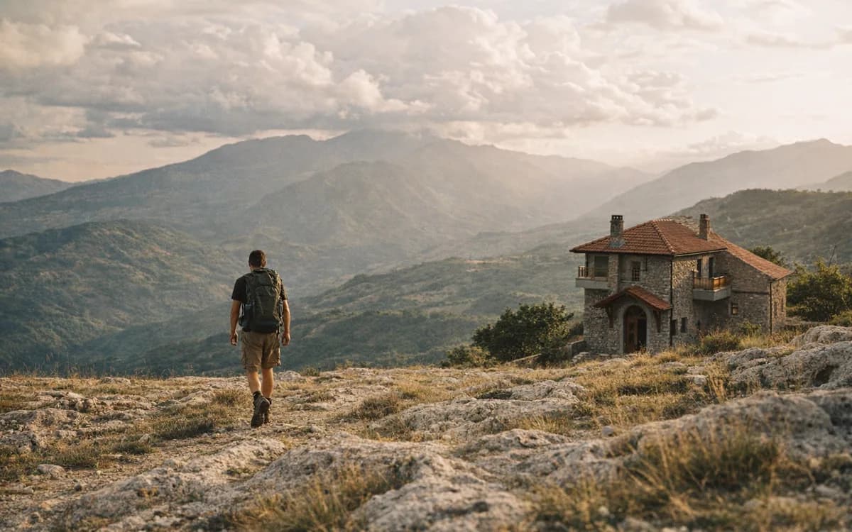
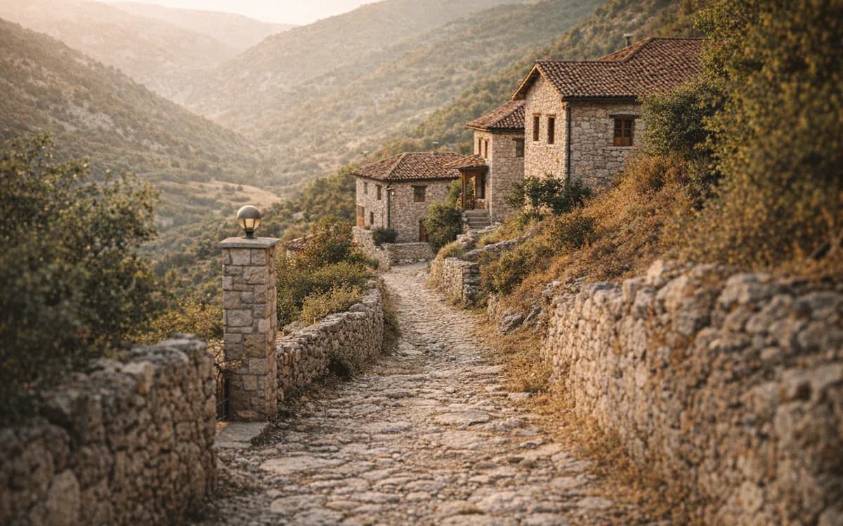
White Stone is a beautiful name, but it is also a useful one. As you climb, pale walls and stony slopes begin to explain why travelers remember this place by its material as much as by its view. The village sits in a mountain setting above the Mat landscape, where the route feels like a meeting of nature and settlement rather than a walk to an isolated viewpoint.
That is the appeal for many of our guests. You are not only chasing a summit photo. You are walking into a lived mountain landscape, where lanes, terraces, houses, animals, and quiet corners all share the same hillside. Go slowly and the walk gives you more: a line of stonework, a bend in the path, the sound of bells somewhere below, the valley opening behind you when you turn around.
The region is also easier to reach than many visitors expect. The Murriz Tunnel opened to traffic on 14 March 2025, improving the Tirana to Dibër corridor. Still, allow extra time in your plan because traffic, weather, and local road conditions vary, especially once you leave the main road for smaller village access.
Petralba village Albania: the name behind the place
If you search online, you may see several names for the same area: Guri i Bardhë, Guri i Bardhe without the diacritic, White Stone, and Petralba. Petralba is the historical name associated with the place and carries the same meaning: white stone.
The spelling changes mostly come from language. Albanian letters are often simplified in English searches, so Guri i Bardhë becomes Guri i Bardhe. If you are checking maps, route notes, or attraction pages, try more than one version before assuming a path is missing.
Route options from Muçek and the White Stone mountain path
For most visitors, the practical plan is simple: use Klos as your base, continue by car or transfer toward the Guri i Bardhë road access or Te Mulliri area, then decide how far to walk. You might make a slower village walk around White Stone, or you might continue on the longer Guri i Bardhë–Muçek route if the day, the group, and the path conditions are right.
This is why we avoid giving one fixed trailhead as if it never changes. Mountain access is alive. Some mornings the lower road is dry and easy; after a night of rain, the same approach can feel different under the tires and under your boots. Online GPS tracks are helpful, especially recent ones, but they may show a loop that begins from a specific guesthouse or bridge, follows an unsigned junction, or assumes local knowledge.
The Mucek hiking route can be treated in three broad ways. The first is an out-and-back village walk: start from the best practical access point, walk in and around Guri i Bardhë, spend time near the stone lanes, then return the same way. This is the clearest option for visitors who want culture, views, and a manageable day.
The second is a longer route toward Muçek, suitable for confident hikers using GPS and local advice. It can be rewarding because the view changes as you rise beyond the village, but it also creates more decisions at junctions. If a junction is unsigned, do not guess just because a line on your phone looks close.
The third is a shorter scenic approach. This suits travelers with less time, mixed fitness in the group, or families who want the feeling of the place without making the whole day about distance. You may not cover as much ground, but you can still enjoy the stone lanes, the views, and the slower rhythm of the village.
Example GPS stats, not a fixed promise
One recent public GPS track for the Guri i Bardhë–Muçek area shows a roughly 4.66-mile loop, about 1,030 ft of elevation gain, a moderate difficulty rating, and around 3 hours 19 minutes of total time. Treat those numbers as an example, not an official promise for every Guri i Bardhe hike. Before you set out, verify the start point, current road access, weather, daylight, and whether the route shown matches the walk you actually want to do.
Prefer a guided plan? See our hiking experiences.
Self-guided walk or local guide?
A self-guided walk suits confident hikers who are comfortable with offline maps, daylight planning, and flexible timing. Bring a charged phone, but do not depend only on mobile signal. If you are used to mountain villages, rough tracks, and occasional route-finding, the walk can be very satisfying at your own pace.
A local guide is useful if you want the day to be less about checking the map and more about understanding where you are. A guide can help with route choice, unclear turns, village context, and the small courtesies that make a walk feel respectful rather than intrusive.
What the path feels like underfoot
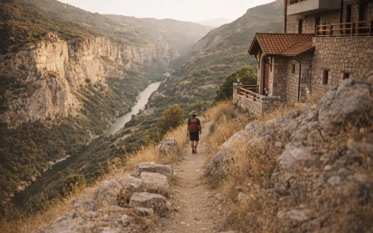
Expect a mixed surface: gravel, compact earth, village lanes, track, and stony patches. Some sections may feel steeper than they look on a map, especially in summer heat. After rain, stones can shift and earth can become slick; after long dry spells, loose gravel can roll underfoot.
Wear hiking shoes or trail runners with grip. City trainers are not the right choice for a mountain path with stones, dust, and possible wet patches.
How difficult is the Guri i Bardhe Klos walk?
The Guri i Bardhe Klos walk is moderate for regular walkers. It becomes harder if you choose a longer route toward Muçek, start late in hot weather, walk after rain, or underestimate the rough footing. The challenge is not only fitness. It is also pacing, sun exposure, navigation, and knowing when to turn back.
Do not plan it like a city stroll. Once you leave the main roads, services are limited, signs may be sparse, and the path may ask for attention underfoot. We often tell guests to leave room for the small pauses: the shaded wall where you catch your breath, the turn where the valley suddenly looks wider, the moment when the village is quieter than your own footsteps.
Families can do shorter versions if the children are used to walking and have proper shoes, but very young children may find the rougher sections tiring. Anyone relying only on mobile signal should be cautious. Offline maps, a simple power bank, and a local check before departure make the day smoother.
The best advice is still the old mountain advice: start earlier than you think you need to, eat before you are hungry, drink before you are thirsty, and keep enough daylight for the return.
Fitness level and pace
A steady hiker does not need to rush. The route rewards patience: a photo stop, a shaded rest, a few minutes looking back over the valley. If someone invites conversation, and the moment feels natural, give it time. Culture-minded hikers should budget for the village, not only the climb.
Best season, packing list, and village etiquette
Spring through autumn is the main window for the White Stone walk. Spring brings green slopes and softer temperatures. Summer can be beautiful, but start early because heat changes the difficulty quickly. Autumn often gives clearer air, calmer walking, and the kind of light that makes stone and valley edges stand out.
Winter needs more caution. Snow, ice, rain, and road condition can change the plan, and a route that feels simple in May may not be suitable in January without local advice. If you are visiting in the colder months, ask before committing to the trail.
Pack simply, but pack well.
- Water - carry more than you expect to need, especially in summer.
- Sun protection - hat, sunglasses, and sunscreen for open sections.
- Rain layer - mountain weather can change quickly.
- Snacks - enough for delays, not only the planned walking time.
- Offline map - download the area before leaving WiFi.
- Charged phone - bring a power bank if you use GPS heavily.
- Cash in Albanian lek - useful in villages and small stops.
- Light first-aid kit - blister care, plasters, and any personal medicine.
- Respectful clothing - comfortable for hiking, but suitable for passing through village spaces.
Etiquette matters. Greet people simply. Ask before photographing homes, courtyards, or residents. If you open a gate, close it again. Carry your rubbish out. Keep noise low, especially near houses and animals.
A village is not a stage set for visitors; it is someone’s home.
What to ask before setting out
Ask about current road access, recent rain damage, the best place to park without blocking residents, and how long your chosen route is expected to take. Confirm the weather and daylight the evening before if you can. In the morning, check again if the sky has changed.
Make it a Klos day: trail, lunch, and a slow return
The best Guri i Bardhë day from our guesthouse begins without rushing. Breakfast at Bujtina Çupa is served 07:30–09:30, which gives you time to eat, check the weather, and decide whether the day calls for the full walk or a shorter village approach. From there, continue toward the Guri i Bardhë road access or Te Mulliri area, walk while the light is still kind, and leave space for the village itself.
When you return, the comfort of Klos matters. A shower, clean clothes, and a warm table can change how the whole day feels. Our kitchen uses a wood-fired oven, garden produce, and local ingredients, so post-hike food can be simple and generous: Byrek Bujtine, Tavë dheu, grilled vegetables, village cheese, or, when planned properly, a bigger traditional dish such as Pule fshati me jufka. Dinner service runs 18:00–22:00, useful if you come back later after a longer route.
See what is cooking after the trail at our kitchen.
If you prefer a lighter day, choose a shorter walk, return for lunch, and spend the afternoon resting on the terrace. If you want more distance, start earlier and keep your evening quiet. We have 9 rooms at the guesthouse, including doubles, triples, and a Family Room, so you do not need to drive back to Tirana tired after a mountain walk.
Sample day plan from Bujtina Çupa
- Morning - breakfast, weather check, water bottles filled, route confirmed.
- Late morning to midday - drive or transfer toward the Guri i Bardhë road access or Te Mulliri area, then walk with time for views and village lanes.
- Afternoon - return to Klos, shower, late lunch or early dinner.
- Evening - rest at the guesthouse, watch the valley quiet down, and decide whether tomorrow is for another walk or a slower start.
Frequently asked questions
Where is Guri i Bardhë in Albania?
Guri i Bardhë is a mountain village in the Mat region of Albania, reachable as a day outing from Klos with local road access and walking routes nearby.
Is the Guri i Bardhe hike difficult?
The Guri i Bardhe hike is moderate for regular walkers, with rough footing, elevation gain, and wayfinding that become harder in heat, rain, or low visibility.
Can visitors hike to Guri i Bardhë without a guide?
Confident hikers can go self-guided with offline maps and local route advice, but a guide is useful for unclear junctions and village heritage context.
What is the best time of year for the White Stone mountain path?
Spring through autumn is the best window, with early starts recommended in summer and local condition checks needed after heavy rain or before winter travel.
What does Petralba mean?
Petralba is a historical name associated with Guri i Bardhë and means White Stone, the same meaning carried by the Albanian village name.
Ready to walk the White Stone mountain path, then come back to a quiet room and a proper Klos meal? Book your stay and we will help you choose the right day before you set out.