In this article
- Mali me Gropa hike: what makes the plateau different
- Where is Mali me Gropa and how does the Bizë Martanesh Nature Park side work?
- Route style, difficulty and who should hire a guide
- Mali me Gropa karst: photographing an Albania karst plateau
- Best season, weather risks and gear for Mountain with Holes Albania
- Using Klos as a base for Martanesh hiking
- Frequently asked questions
Mali me Gropa hike: what makes the plateau different
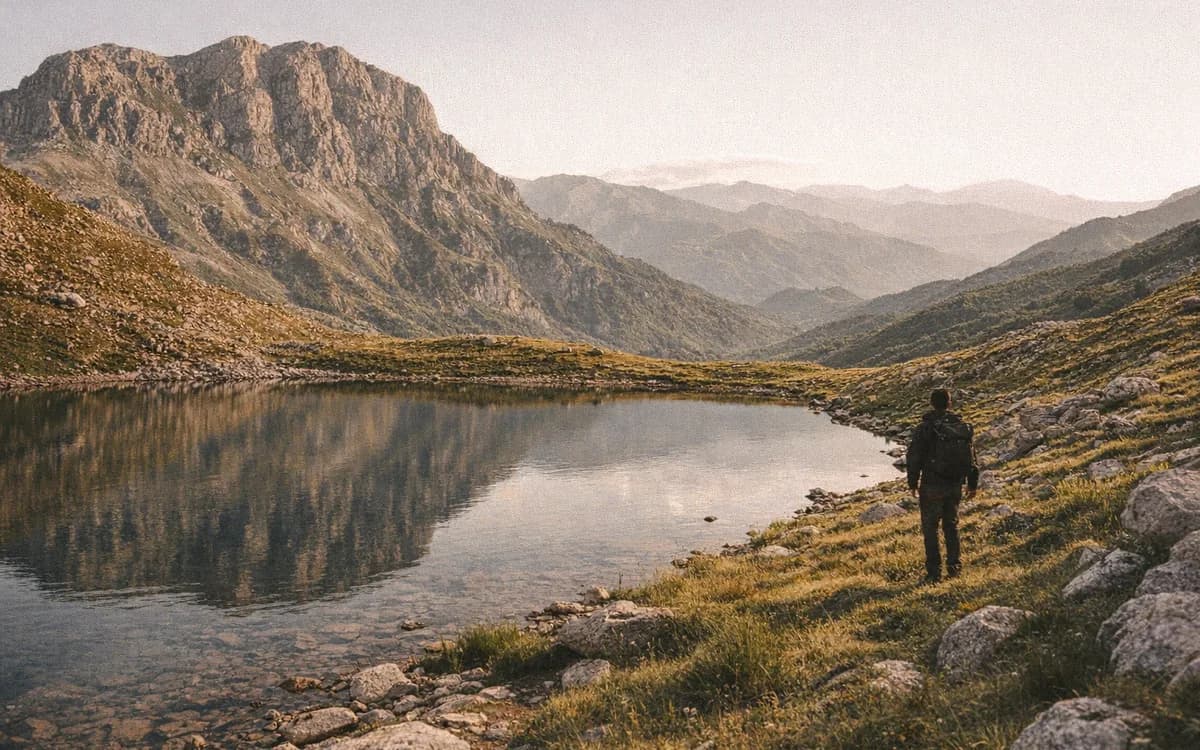
The Mali me Gropa hike is not the same kind of Albania mountain day as Theth, Valbona, or the sharp ridges people often picture first. Its name means Mountain with Holes, and the landscape earns it: wide limestone ground, shallow bowls, sinkholes, grass, stone, and sky. From Klos, the journey feels less like a quick city outing and more like a serious Martanesh-side mountain plan, with road checks, weather decisions, and local advice shaping the day before your boots touch the plateau.
This is a hike for experienced walkers, nature photographers, and travelers who enjoy strange terrain as much as summit views. The beauty is not only in height. It is in repetition: hollow after hollow, pale rock underfoot, wind moving across grass and stone, and distant mountains opening and closing as cloud shadows pass.
Mali me Gropa sits within the wider highland landscape connected to Bizë and Martanesh. You may see it described in official sources as part of the Bizë-Martanesh natural area, but on the ground it feels more direct than that wording: rough roads, shepherd tracks, open slopes, and a plateau that can look simple until fog or broken limestone changes the pace.
Quick facts for planning
- Best season - late spring through autumn for most hikers; winter only for equipped, experienced parties.
- Terrain - open karst plateau, sinkholes, uneven limestone, grassy slopes, shepherd tracks, and rough access roads depending on conditions.
- Main appeal - geology, silence, big skies, photography, and the feeling of remoteness close to central Albania.
- Who it suits - fit hikers who are comfortable with navigation, weather changes, and slower walking than a map line suggests.
Where is Mali me Gropa and how does the Bizë Martanesh Nature Park side work?
Mali me Gropa lies in central Albania, often approached from Tirana, but the mountain is also tied to the Martanesh and Bizë highlands east of the capital. Many online route notes begin from a Tirana mindset: leave early, reach the trail, return late. That can work for some groups. From our side in Klos, we think the mountain deserves more margin.
We are in Fshat, on Rruga e Arbërit, near Klos in Dibër County. The modern Rruga e Arbërit corridor and the Murriz Tunnel, fully opened to traffic in March 2025, have shortened travel between Tirana and Klos; allow roughly an hour or confirm current timing before you leave. That helps visitors reach our valley without losing half a day, but it does not remove the mountain from the mountain. High roads toward plateaus can still change with rain, snow patches, washouts, fog, and local maintenance.
That is why we prefer to talk about access honestly. We will not give a fixed drive time to a high starting point because the right answer can change after one storm. A track that feels fine in dry summer may be unsuitable for an ordinary rental car after rain. A spring morning may still hold snow remnants in shaded folds. A photographer planning sunrise or sunset needs even more caution because the hardest part of the road may be in darkness.
A few protected-area facts help set the scale before you plan:
- Status - the wider Mali me Gropa and Bizë-Martanesh area is listed as a Natural Park, category IV, with the approval dated 2022.
- Surface area - the protected area is given as 26,043.34 ha.
- Plateau height - route descriptions commonly place the plateau around 1,500–1,600 m, depending on the exact line walked.
- Peak figures - published elevations for Micek or Maja e Micekut vary by source, so hikers should follow a current local guide or GPS route instead of relying on one online number.
For current road and weather advice, get in touch.
Why this is not just a Tirana day trip
When Mali me Gropa is treated only as a Tirana day trip, the plan can become rushed: early start, uncertain access, long walking, then tired driving back after dark. Staying in Klos gives the day a better rhythm. You can arrive the evening before, ask about conditions, sleep closer to the Martanesh side, and begin without the pressure of solving every unknown before sunrise.
It also gives you a second option if the plateau is not wise that day. In the mountains, flexibility is not a luxury. It is part of good judgment.
Road checks before you go
Before setting out, ask local people about snow patches, mud, recent rain, fog, and whether high-clearance transport is needed. Confirm the intended start point with a local driver or guide, not only with a mapping app. Carry offline maps, because signal can disappear quickly in highland folds. If the forecast is uncertain, decide your turnaround point before the weather makes the decision for you.
Route style, difficulty and who should hire a guide
There is no single universal Mali me Gropa route that fits every group. The day depends on road condition, vehicle access, chosen start point, weather, and how far you want to explore across the plateau. Some groups make it a moderate mountain walk with careful limits. Others turn it into a demanding full day, especially if the vehicle must stop lower than expected or if photography and route-finding add hours.
The landscape is open, but open does not mean easy. Karst can be confusing. Similar hollows repeat in every direction, shepherd paths fade, and fog can erase landmarks faster than a new visitor expects. Even on a clear day, walking straight across the map may not be possible because sinkholes and loose limestone force you to weave around depressions.
We recommend a local guide for first-time visitors, winter and shoulder-season trips, photographers chasing low light, and anyone without karst navigation experience. A guide is also sensible if your group wants to combine the plateau with other Martanesh hiking plans over several days. This is better for sure-footed hikers than for casual walkers looking for a marked village stroll.
Guests can ask us about hiking experiences when planning a guided mountain day from Bujtina Çupa.
Navigation on a karst plateau
Sinkholes make pace unpredictable. You may see a direct line ahead, then spend ten minutes finding the safe way around a hollow. Loose limestone can roll underfoot. Grass can hide small gaps. Fog makes the repeated shapes feel almost identical.
Carry a GPS track or mapping app that works offline, but do not treat a screen as your only safety tool. A compass, spare battery, and the habit of looking back at landmarks all matter. Avoid climbing down into unknown hollows for photos unless the footing is clearly safe and the group can exit easily.
Fitness and pace
Experienced hikers should still plan a slower pace than on a clear ridge path. The surface is uneven, wind exposure can tire a group, and photo stops on Mali me Gropa are tempting. Make turnaround decisions early, especially if clouds begin to build. A quiet plateau is beautiful; it is not a place to gamble with late exits.
Mali me Gropa karst: photographing an Albania karst plateau
Karst is limestone shaped by water over time into hollows, cracks, sinkholes, and underground drainage. The Mali me Gropa karst is why the mountain looks pocked and folded, almost lunar in places, yet still alive with grass, grazing animals, and changing light.
For photographers, the subject is not only one viewpoint. Look for repeating circular depressions, pale limestone textures, animals or people for scale, cloud shadows crossing the ground, and wide horizons that make the plateau feel larger than it first appears. A strong frame often has three layers: foreground stone, mid-ground hollows, and distant mountains beyond.
This is a patient landscape. It rewards waiting for light more than rushing to collect a summit. Low-angle light gives depth to the sinkholes. Flat midday sun can make the ground look less dramatic, even when the terrain is impressive underfoot. Moving clouds can turn the whole plateau into a sequence of bright and dark patches, but the same clouds may bring wind, cold, and poor visibility.
Best light for the plateau
Early morning and late afternoon are usually best for shape and shadow. They also require the strictest exit plan. If you want sunrise, you need to know the road, the start point, and the first section of walking before darkness complicates them. If you want sunset, decide how you will leave before you begin shooting.
Do not let the camera overrule your feet. Loose edges, hidden holes, and sudden fog are real risks. The best image is not worth stepping into ground you cannot read.
Best season, weather risks and gear for Mountain with Holes Albania
For most travelers, the best window for Mountain with Holes Albania is late spring through autumn. Roads are generally more manageable, the plateau is more open for walking, and daylight gives you more margin. Still, every season has its own caution.
A safe Mali me Gropa hike begins with season, road, and forecast together, not with the calendar alone. Late spring can be beautiful, with greener slopes and cooler walking, but snow remnants may remain in shaded areas. Autumn gives clear air and strong photography conditions, though early storms can change access quickly. Summer often brings easier road conditions, but heat, sun exposure, and afternoon storms need planning. Start early, carry more water than you would on a lowland walk, and do not assume springs will be available on the high plateau.
Winter is different. It belongs to experienced groups with snow navigation skills, proper layers, local road advice, and the discipline to turn back. Mali me Gropa in snow can be serious because the hollows, tracks, and safe lines may be hidden.
Gear to carry
- Waterproof boots - ankle support helps on limestone and uneven grass.
- Wind layer and warm mid-layer - the plateau can feel colder than the valley.
- Sun protection - hat, sunglasses, and sunscreen matter where shade is limited.
- Offline maps and power bank - do not rely on signal.
- Headlamp - even if you plan to finish early.
- Food and water - carry enough for delays, not only for the planned walk.
- Basic first aid - small injuries are harder when the vehicle is far away.
Using Klos as a base for Martanesh hiking
Klos makes sense as a base when the goal is not only to reach Mali me Gropa, but to enjoy the mountain without rushing every decision. After a long day on limestone, the useful things are simple: a hot shower, dry socks, WiFi to check tomorrow's weather, a mountain view from the room, and enough quiet to sleep before the next road.
Our dinner service is scheduled for 18:00–22:00; confirm the day's kitchen timing when booking or before setting out, especially if your route may run long. Depending on the season and the kitchen that day, guests might sit down to Tavë dheu, Byrek Bujtine, or a slower order such as Pule fshati me jufka when arranged in advance. Our wood-fired oven is used for breads, pies, and slow dishes, and that kind of meal feels right after wind and rough ground.
Klos also pairs well with other Martanesh hiking ideas if your group has enough days and flexible weather windows. Strong hikers sometimes compare Mali me Gropa with wilder ridge objectives such as Kaptina e Martaneshit, but they are different days and should not be squeezed together without care. The useful thing about staying nearby is choice. If fog covers the plateau, you can shift plans. If the road is better than expected, you can start earlier. If everyone is tired, you can rest.
When to stay overnight instead of rushing back
Stay overnight if the road start is uncertain, if your group wants sunrise or sunset photography, or if you plan another Mat or Martanesh route the next day. It is also wiser when you do not want to drive tired after dark. And if the Mali me Gropa hike is the main reason for coming this way, give the mountain enough space for weather, road checks, and a proper return meal.
After the hike, Book your stay and we will help you plan around weather, road conditions, and a proper evening meal.
Frequently asked questions
Is Mali me Gropa the same as Mountain with Holes in Albania?
Yes. Mali me Gropa translates as Mountain with Holes, a name that describes the karst sinkholes and hollows across the plateau.
Can beginners do the Mali me Gropa hike?
Mali me Gropa is better for fit hikers with mountain experience. Beginners should go only with a local guide, good weather, and a shorter route plan.
What is the best season for hiking Mali me Gropa?
Late spring through autumn is the best season for most hikers. Winter requires snow skills, navigation experience, proper gear, and current local road advice.
Do hikers need a guide for Mali me Gropa?
For a first Mali me Gropa hike, a guide is strongly recommended, especially in foggy weather, winter conditions, or on routes starting from rough Martanesh access roads.
Can Mali me Gropa be visited from Klos?
Yes. Klos works as a practical base for the Martanesh side, especially when hikers want local road checks and an overnight stay before or after the hike.