In this article
- Kaptina e Martaneshit at a Glance
- How to Reach the Ballenjë–Kaptina Trail From Klos
- What the Martanesh Hike Feels Like on the Ridge
- Best Season, Weather and Safety for Klos Mountain Hiking
- Ballenjë, Bektashi Heritage and the Mali me Gropa Bize Martanesh Landscape
- Suggested Klos-Based Itinerary for Kaptina e Martaneshit
- Frequently asked questions
Kaptina e Martaneshit at a Glance
Kaptina e Martaneshit is for hikers who want a quieter Albanian ridge: open slopes, hard weather, wide views and very little hand-holding. From Klos, it becomes a serious day in the Martanesh highlands if you respect the road, the route and the forecast before you leave.
The mountain is usually approached by hikers from the Ballenjë side. Maps commonly place Kaptina at around 1,870 meters, but do not build your plan from elevation alone. The challenge is not only the height. It is the mixture of mountain-road access, rough paths, changing visibility and limited signage.
Do not come expecting Theth or Valbona with a serviced alpine trail, clear waymarks, cafés near the route and other hikers passing every few minutes. Kaptina gives a different reward: space, wind, grass and rock underfoot, and the feeling of being inside a less-published part of central Albania.
Our guesthouse is in Fshat, on Rruga e Arbërit near Klos in Dibër County, so many hikers use us as a practical base before heading toward Martanesh. We have 9 rooms, breakfast from 07:30 to 09:30, and enough quiet in the evening to pack properly.
You can see our rooms before shaping your Klos hiking plan.
Who this hike suits
Kaptina suits experienced hikers who are comfortable with rough tracks, route-finding and exposed weather. If you are used to European mountain days where the path fades, the wind rises and the map matters, you will understand the rhythm here.
It is not a good first mountain hike. We would not recommend it for families with young children, casual walkers, or anyone depending only on one phone battery and a hopeful blue dot.
Quick planning snapshot
Base yourself in Klos or a nearby village, check local advice the evening before, and aim for summer to early autumn. Carry an offline map, water, layers, sun protection, food, a power bank and a realistic turnaround time. The ridge will still be there tomorrow.
How to Reach the Ballenjë–Kaptina Trail From Klos
The simple version is this: sleep in Klos, then drive or arrange local transport toward Martanesh and Ballenjë. The less simple version is the one that matters. Mountain roads change after rain, after winter freeze-thaw, and after local works. Online maps may show a clean line while the road asks for patience.
Klos works well because it gives you food, a bed and local conversation before the rougher part of the day begins. Rruga e Arbërit has made the region much easier to reach from Tirana since the Murriz Tunnel opened to traffic in March 2025. Depending on where you start in Tirana and traffic conditions, allow roughly 45–60 minutes to Klos, then extra time for the mountain approach toward Martanesh.
Ask locally the evening before you go. Ask about the road surface, recent rain, cloud on the ridge and whether a normal car is sensible for the final approach. A high-clearance vehicle or local driver can be the difference between a calm morning and a late, tiring start.
Why start from Klos
An early start from Klos gives you margin. You can eat breakfast, leave before the heat grows, and avoid descending in a hurry. In Albanian mountains, that margin is not a luxury. It is part of safe planning.
If you are staying with us, contact us in advance and we can help you ask the right local questions before you commit to the ridge.
Road and access warnings
Do not assume the road is always open, dry or quick. After heavy rain, expect muddy sections, loose stones or debris. In shoulder seasons, the valley may feel mild while snow or wet ground remains higher up. If your driver hesitates, listen.
What the Martanesh Hike Feels Like on the Ridge
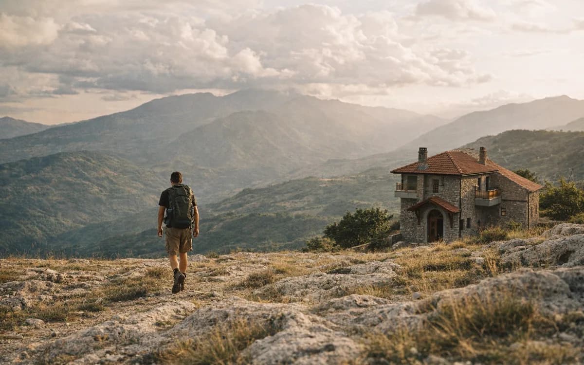
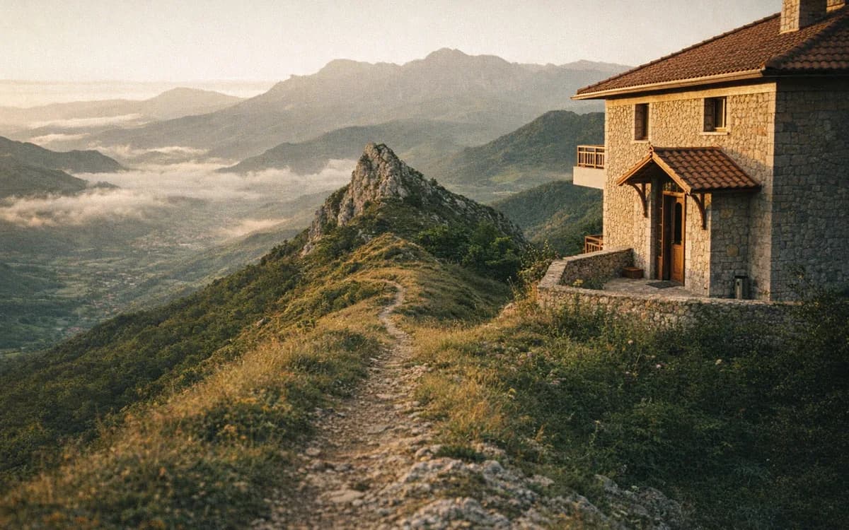
A Martanesh hike is less about one dramatic landmark and more about the slow opening of the ridge. You move through grass, stone and shepherd terrain. The path may be clear for a while, then soften near pasture tracks or split around a slope. The wind can make a warm day feel suddenly cold.
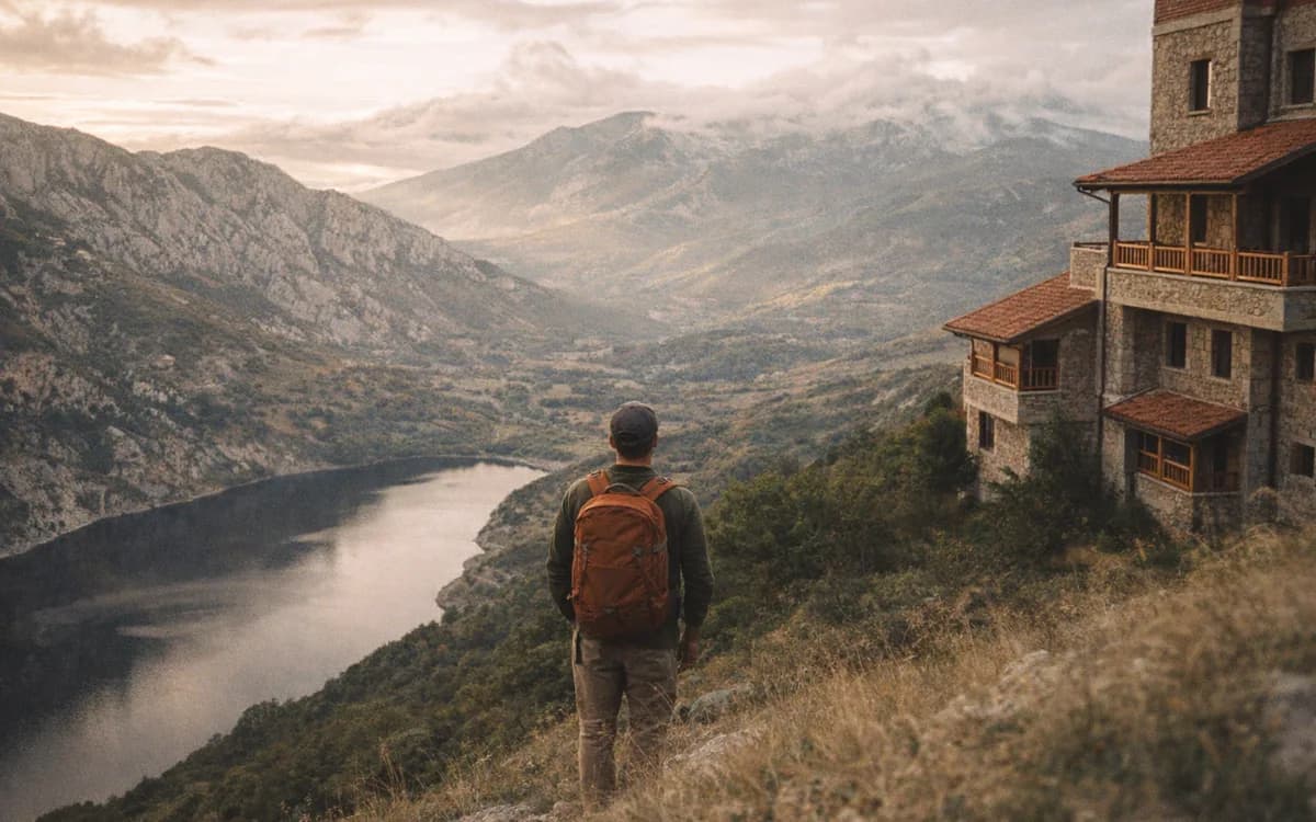
On clear days, the views reach across the wider Dibra and central Albanian mountain landscape. We avoid promising exact panoramas, because mountain light changes quickly here, but the sense of space is strong. You are not walking between souvenir stalls and signboards. You are walking through a high, working landscape where silence is part of the experience.
Compared with Albania’s famous northern trails, Kaptina asks for more self-reliance. There may be fewer people to ask, fewer marks to follow and fewer obvious bail-out points. That is the attraction for some hikers. It is also the reason to prepare properly.
Terrain and difficulty
Treat the route as moderate-to-hard, depending on your starting point, weather and navigation confidence. The footing can include grassy slopes, loose stones, shepherd paths and unmarked junctions. Distance and ascent vary by approach, so confirm your GPX track or guide plan before you leave.
Good boots matter. So does restraint. If the route begins to feel unclear and the cloud is dropping, do not push higher simply because the summit looks close on a map.
Route facts to confirm locally
Published Albanian Trails data for the Ballenjë route lists these planning figures:
- Distance - 18,214 m
- Estimated time - about 3 hours 45 minutes
- Difficulty - average
Use those numbers as a starting point, not a promise. Your real day can change with road access, your exact start point, weather, pauses, group pace and whether the path is clear after the season’s storms.
Navigation on the Ballenje Kaptina trail
For the Ballenje Kaptina trail, offline maps are helpful but not enough on their own. Local confirmation matters because seasonal tracks can split around pastures and ridgelines. In cloud, familiar shapes disappear fast. A disciplined turnaround is not failure; it is how you keep a mountain day honest.
Best Season, Weather and Safety for Klos Mountain Hiking
For Klos mountain hiking toward Kaptina, the best window is usually late June through September. October can work in stable weather, but it is no longer a casual choice. Spring may look green and inviting from the valley while the higher ground still holds snow, mud or unsettled weather.
Start early. The morning gives you cooler air, better light and more time for route-finding. Afternoon cloud can build quickly, and even a small delay on the road can make the descent feel rushed.
Carry proper hiking boots, a wind layer, a rain shell, a warm layer, a hat, water, food, first aid basics, a charged phone, a power bank and an offline map. Tell someone your plan. If this is your first time in the Martanesh area, go with a local guide or at least arrange a local driver who understands the road and the return.
Ask us about hiking experiences if you want a guided mountain day from Bujtina Çupa.
When to go
Choose summer or early autumn after the snow has cleared. Avoid days with thunder risk, strong wind or low cloud. Winter is not a casual hiking season here, and we would not treat it as one for visiting hikers.
When to turn back
Turn back for building cloud, thunder, strong wind, fading daylight, lost route confidence or wet rock and grass underfoot. The safest mountain stories are often the ones where someone made a boring, wise decision at the right time.
Ballenjë, Bektashi Heritage and the Mali me Gropa Bize Martanesh Landscape
Ballenjë is more than a practical access point. It belongs to a wider mountain world often spoken about together with Mali me Gropa, Bizë and Martanesh: limestone, pasture, forest, villages and religious memory held in the same landscape. Trail sources also place the route within the wider Mali me Gropa–Bizë–Martanesh Nature Park context, which is one reason the day can feel so open and varied.
If you plan to stop near Bektashi heritage sites around Ballenjë or Martanesh, ask locally first. Opening times, access and etiquette can vary, and not every place is meant to be treated as a viewpoint. Dress modestly, speak quietly, ask before photographing, and do not enter private or sacred areas without permission.
Nearby names you may hear when asking about the area include Xixlla Canyon, Xixlla Cave and the Teqehja Cultural Monument of Ballem Sultani. Treat them as local places, not boxes to tick. Conditions, access and the right way to visit can change, so ask someone in the village before adding them to your walking day.
This matters because the ridge is not separate from the people below it. Paths pass through land that is used, remembered and cared for. A good Dibra hiking trail plan leaves room for that reality, not only for GPS points and elevation gain.
After a hard route, the return to a warm table also feels different. In our kitchen, dinner runs from 18:00 to 22:00. Hikers often want food that is simple, filling and local: Tavë dheu, Byrek Bujtine, or, when arranged with time and appetite, Pule fshati me jufka.
How to visit heritage sites respectfully
Ask before entering, photographing or walking around religious buildings. If a caretaker or local resident gives guidance, follow it. Do not invent a story for a place just because the setting feels old. Listen first.
Why the wider landscape matters
Kaptina is not an isolated photo stop. It is part of a quieter central Albanian mountain story, where pasture, village life, sacred places and ridges meet. That is why rushing through the area only for a summit can feel thin.
Suggested Klos-Based Itinerary for Kaptina e Martaneshit
The best plan is often a two-night rhythm. Arrive in Klos the evening before, eat well, check road and weather conditions, charge your devices and pack without hurry. Hike on the full day. Sleep again before driving onward the next morning.
For a one-day hiking rhythm, keep it simple. Start early from Klos, transfer toward Ballenjë, walk with a clear turnaround time, and leave generous space for descent and the mountain-road return. Do not let a late breakfast in the valley become a late descent on the ridge.
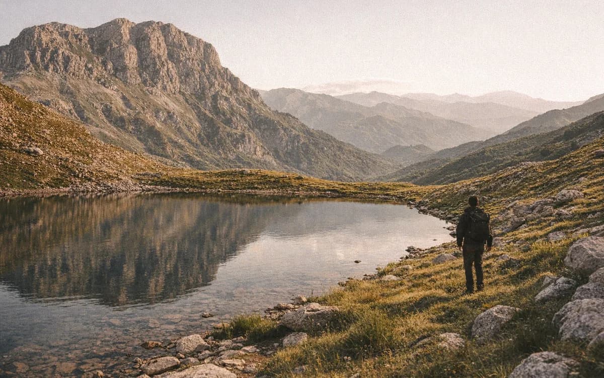
If the forecast closes in, change the plan. Choose a lower walk, a heritage stop, a slow lunch, or a rest day. Nearby mountain routes such as the Balgjaj Lakes area can be considered in the broader region when conditions suit, but every choice should begin with the same question: what does the weather allow today?
At Bujtina Çupa, we are close enough to the Rruga e Arbërit corridor to make these mountain days realistic, but we never pretend the high routes are easy. That balance is the point. Come prepared, ask locally and leave enough energy for the return.
Frequently asked questions
Is the ridge suitable for beginner hikers?
The ridge is better for experienced hikers. The route has limited signage, rough mountain terrain and weather exposure, so beginners should go only with a local guide.
What is the best season for the Martanesh hike?
The best season is summer to early autumn, usually after snow has cleared and before heavy autumn storms. Conditions should still be checked locally before departure.
Do hikers need a guide for the Ballenjë–Kaptina route?
A guide is strongly recommended for first-time visitors. Local knowledge helps with road access, route choices, weather judgement and respectful visits near Ballenjë.
Can this hike be done as a day hike from Klos?
Yes, it can be planned as a day hike from Klos with an early start, reliable transport and stable weather. A two-night stay gives safer margins.
Are there marked trails on the route?
Marking is limited compared with Albania’s famous northern routes. Hikers should carry offline maps, confirm the route locally and be ready to turn back in cloud.
Ready for a quiet mountain base before the Martanesh ridge? Book your stay and we will help you start early, eat well and check the local word on the road before you go.